
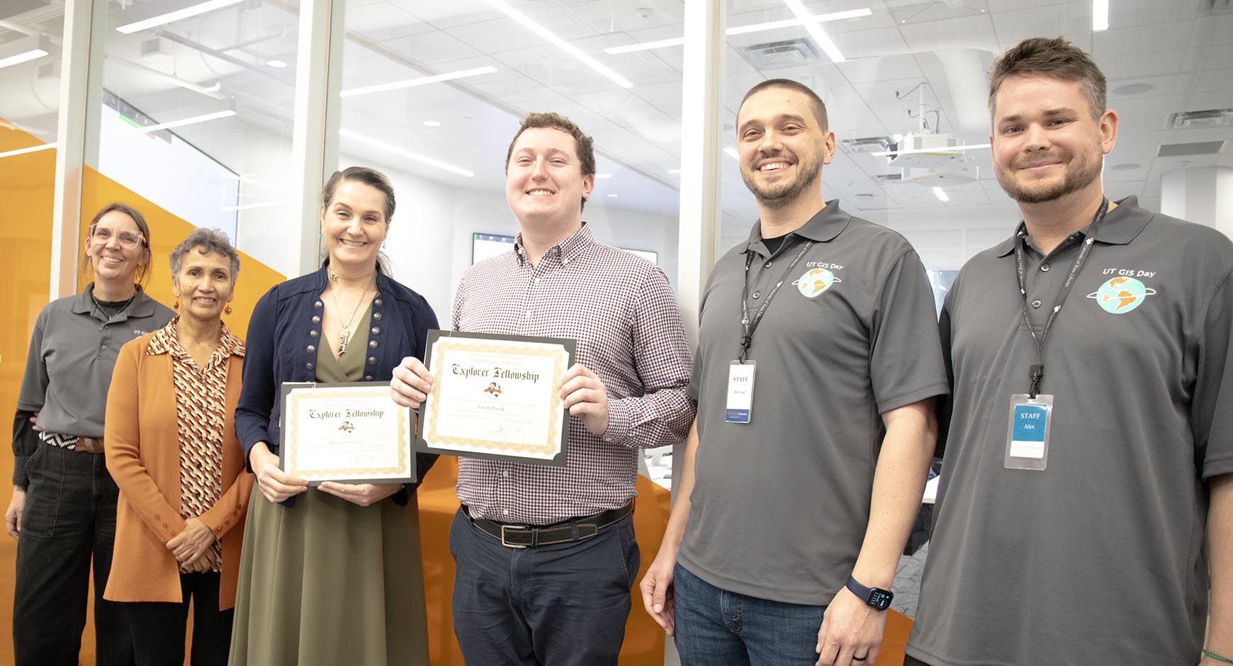
The University of Texas Libraries announced the faculty and student recipient of the 2023 Map & Geospatial Collections Explorer Fellowship at a GIS Day event on Wednesday, November 15.
The Fellowship was created as an annual award to encourage scholarly and creative use of maps and geospatial assets from University of Texas Libraries collections, such as those made available through the Texas GeoData Portal, the Collections Portal and the Perry-Castañeda Library Map Collection.
Staff from the Libraries’ Research Support & Digital Initiatives unit presented the awards to faculty winner Dr. Elizabeth Catlos (Associate Professor, Earth and Planetary Sciences) and student winner Ethan Plevak (Undergraduate, Geography and the Environment) as part of the GIS Day festivities.
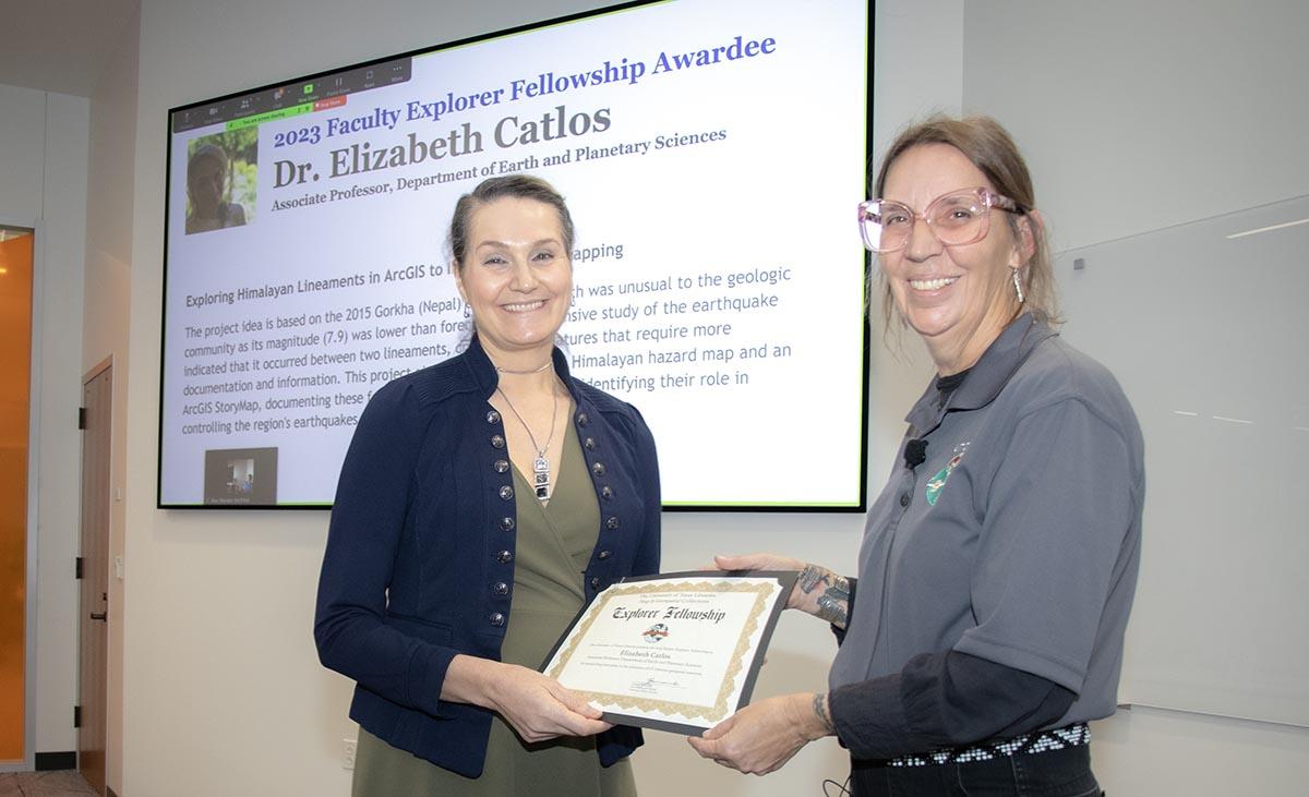
Dr. Catlos’ research involves exploring Himalayan lineaments in ArcGIS to improve hazard mapping. She has a PhD from UCLA, where she began her specialization in Himalayan tectonics. She received the Geological Society of America's Young Scientist Award for her work in the Himalayas and drawing attention to recent activity along one of its faults that was long thought to have ceased motion. Since then, she has focused on understanding how rocks record deformation and finding links between traditional geoscience fields of structural geology, petrology, and geochemistry with earthquake and landslide hazards.
Catlos’ winning project idea is based on the 2015 Gorkha (Nepal) earthquake, which was unusual to the geologic community as its magnitude (7.9) was lower than forecasted. An extensive study of the earthquake indicated that it occurred between two lineaments, cryptic linear features that require more documentation and information. This project aims to create an ArcGIS Himalayan hazard map and an ArcGIS StoryMap, documenting these features throughout the range and identifying their role in controlling the region's earthquakes.
“I appreciate the support made possible through the fellowship as I design and plan new maps of the Himalayan range as open resources for the broader science community to access,” said Catlos. “We seek to learn and access new advances in geospatial technology to significantly advance our understanding of the architecture of the Himalayas and, therefore, its hazards.”
Ethan Plevak is a senior in the Department of Geography and the Environment studying to obtain three Bachelors of Arts in Geography, Sustainability Studies, and Urban Studies with a minor in Arabic. Additionally, he is a GIS Intern at BGE, Inc., a civil engineering firm with locations across Texas and the southeastern US. After graduation, he plans to continue working in the GIS field for a few years and then return to school to study urban planning. He is particularly interested in the applications of GIS within the fields of environmental planning and environmental justice and is a part of the Contextualization and Commemoration Initiative under Dr. Ted Gordon and a part of the Undergraduate Research Apprenticeship Program in the College of Liberal Arts.
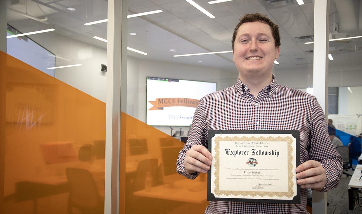
Plevak’s project aims to create new narratives about demographic change in the greater Austin area between 1900 and 1940. Through georeferencing historical maps and enhancing them with US Census attribute data, Plevak plans on creating thematic visualizations of demographic change in Austin during a period of increasing racial and economic segregation. He is specifically interested in visualizing changes and continuities in the demographic composition of Austin's districts and neighborhoods as well as changes in occupational status, land ownership, and population density. The goal of this work is to enrich the holdings of the UT Libraries' geospatial collections and provide a new lens through which these maps can be viewed, especially through a lens of racial justice.
"I'm incredibly grateful to the MGCE Fellowship Steering Committee for selecting my project for the Fellowship,” said Plevak. “This award enables me to begin the work to reframe the way we look at these maps and study demographic change in early Austin. Receiving this fellowship is an excellent way to end my senior year at UT!"
As the winners’ respective projects progress, each will either present or lead a workshop at a UT Libraries event that showcases their work. Additionally, their work will be featured in one or more UT Libraries repositories, enabling long-term preservation and a citable persistent link to project outcomes.
Thanks to David and Leigh Ann Ranslem for their generous contribution to the funding of this year’s UTL MGCE Fellowships. If you are interested in supporting the Explorer Fellowship, contributions may be made through the UT Libraries Development Office by contacting Katie Jordan