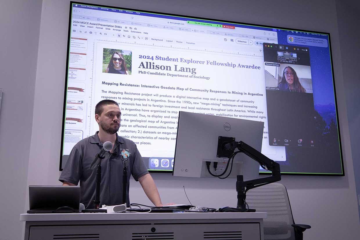
The University of Texas Libraries announced the recipients of the 2024 Map & Geospatial Collections Explorer Fellowships at the annual GIS Day event held in the Scholars Lab at the Perry-Castañeda Library on Wednesday, November 20.
The fellowships, established to support innovative research and creative projects using the Libraries’ extensive map and geospatial collections, are awarded to one student and one faculty member for their groundbreaking projects.
This year’s awardees are student recipient Allison Lang, a PhD candidate in the Department of Sociology, and faculty winner Dr. Gengchen Mai, Assistant Professor in the Department of Geography and the Environment.
Allison Lang’s project, “Mapping Resistance: Interactive Geodata Map of Community Responses to Mining in Argentina”, aims to create a digital interactive map and geodataset to analyze community responses to mining projects in Argentina.
Since the 1990s, the rise of “mega-mining” techniques has spurred significant foreign investment and localized resistance in Latin America. Lang’s project will use QGIS to digitize and georeference a geological map of Argentina from the Walter Geology Library, overlaying it with geospatial data on affected communities, sociodemographic information, and collective action data from multiple sources.

“I'm honored to have the opportunity to develop this project in collaboration with UT Libraries,” said Lang. “With this support, we hope that the digital interactive map will become a helpful tool for students, academics, and activists alike in the fight for human rights and environmental justice.”
Dr. Mai’s project, “Map2Loc: Predicting the Georeference of Map Images using Multimodality Foundation Models and Retrieval-Augmented Generation”, leverages cutting-edge multimodal large language models (MLLMs) like GPT-4V and retrieval-augmented generation (RAG) to predict the geospatial footprints of historical map images. The project seeks to georeference maps in the Libraries’ Maps Collection that currently lack coordinate information, paving the way for enhanced access through the Texas GeoData Portal and greater ease of use in GIS software.
Throughout the course of their project development, recipients will have the opportunity present or lead a workshop at a UT Libraries event to showcase their work. Additionally, project work will be featured in one or more UT Libraries repositories, enabling long-term preservation and a citable persistent link to project outcomes.
For more information about the Map & Geospatial Collections Explorer Fellowships, visit https://guides.lib.utexas.edu/gis/utl-map-and-geospatial-collection-explorer-fellowship.

