Perry-Castañeda Library
Map Collection
Swaziland Maps
The following maps were produced by the U.S. Central Intelligence Agency, unless otherwise indicated.
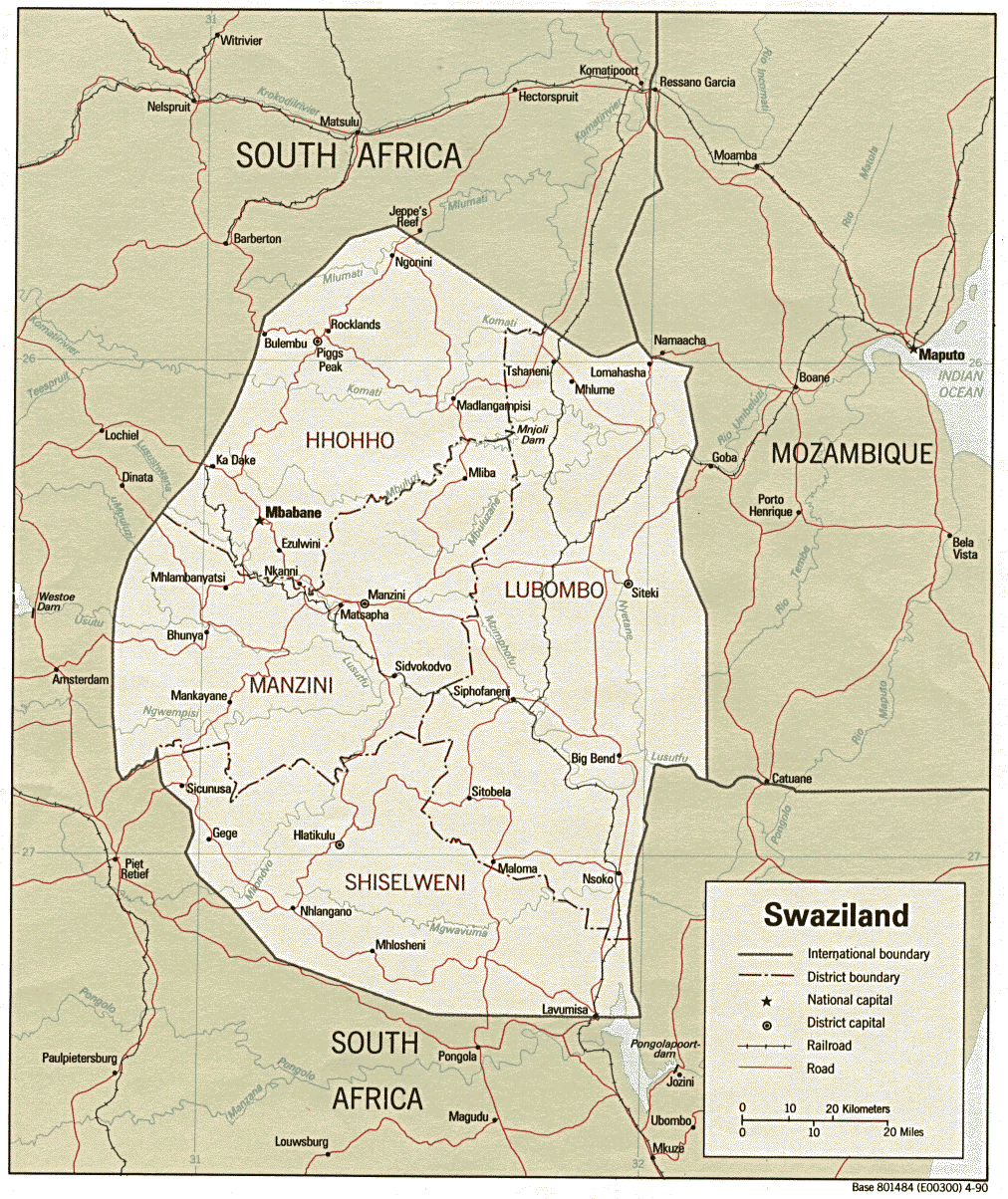
Country Maps- Swaziland (Political) 1990 (327K) and pdf format (346K)
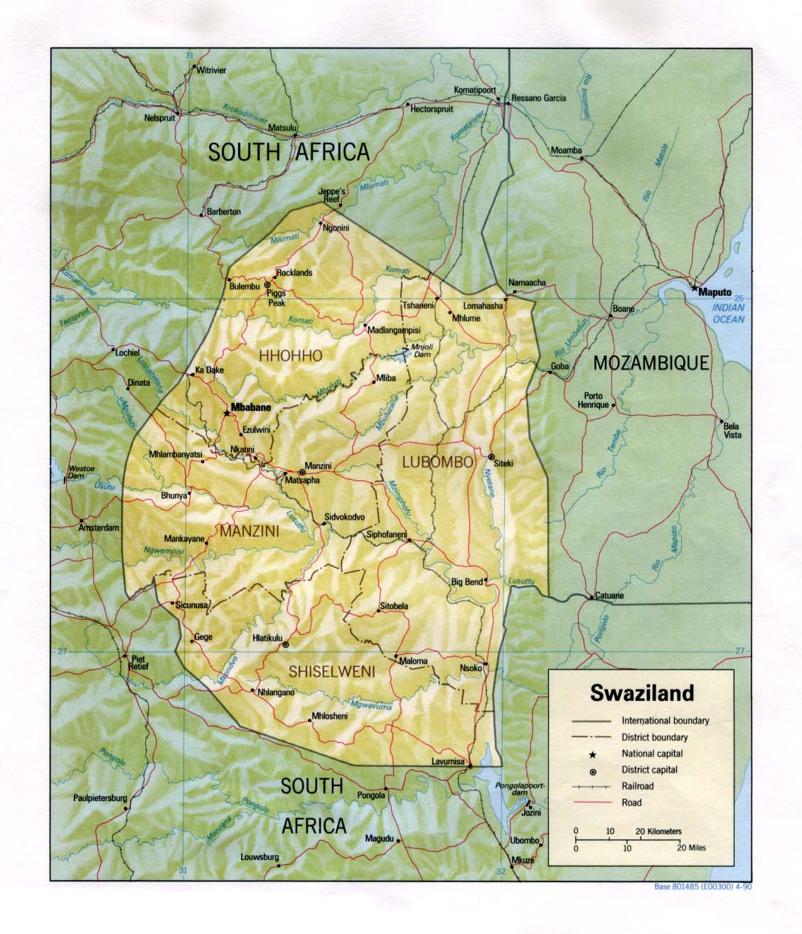
- Swaziland (Shaded Relief) 1990 (185K) and pdf format (192K)
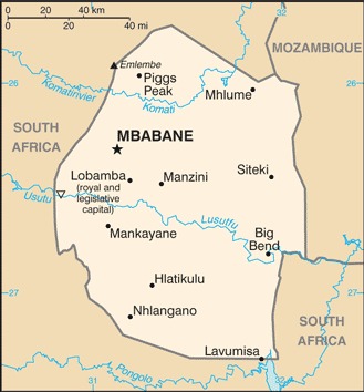
- Swaziland (Small Map) 2016 (20.6K)
- 1:2,000,000 - Africa Topographic Maps U.S. Army Map Service
- Sheet 34 includes Swaziland
- 1:1,000,000 - Operational Navigation Chart Series U.S. Defense Mapping Agency Aerospace Center. Not for navigational use
- Sheet Q-5 includes Swaziland
- 1:1,000,000 - International Map of the World U.S. Army Map Service
- Sheet SC-36 includes Swaziland. Clickable map
- 1:250,000 - South Africa Topographic Maps U.S. Army Map Service, Series Z501
- This series covers most of Swaziland
- Sheet 34 includes Swaziland