Perry-Castañeda Library
Map Collection
Suriname Maps
The following maps were produced by the U.S. Central Intelligence Agency, unless otherwise indicated.
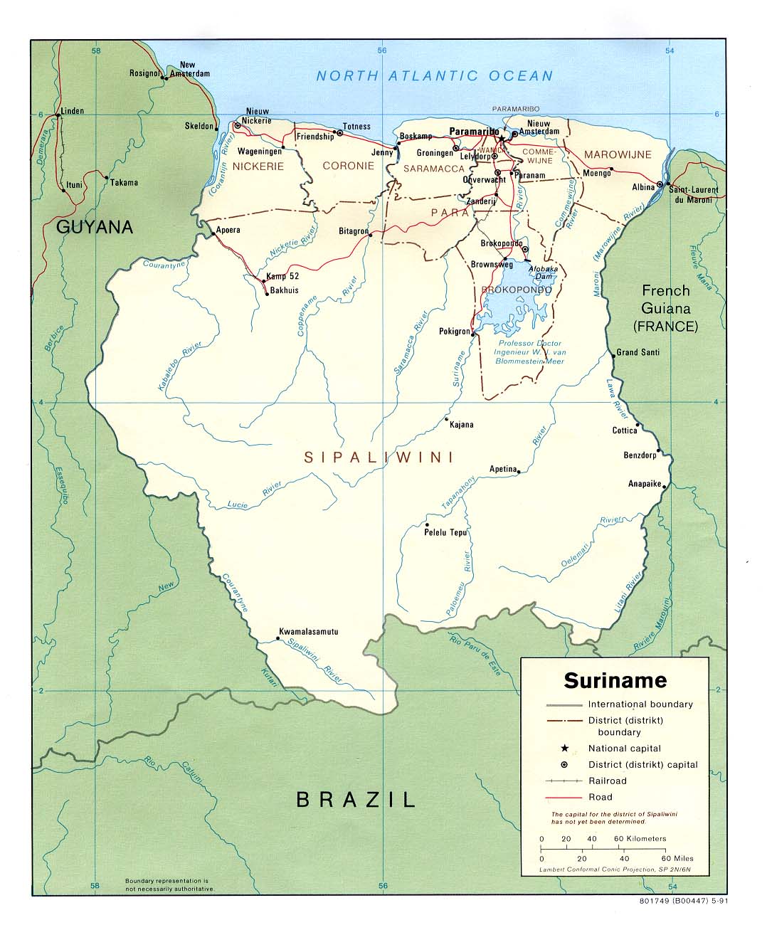
Country Maps- Suriname (Political) 1991 (174K) and pdf format (215K)
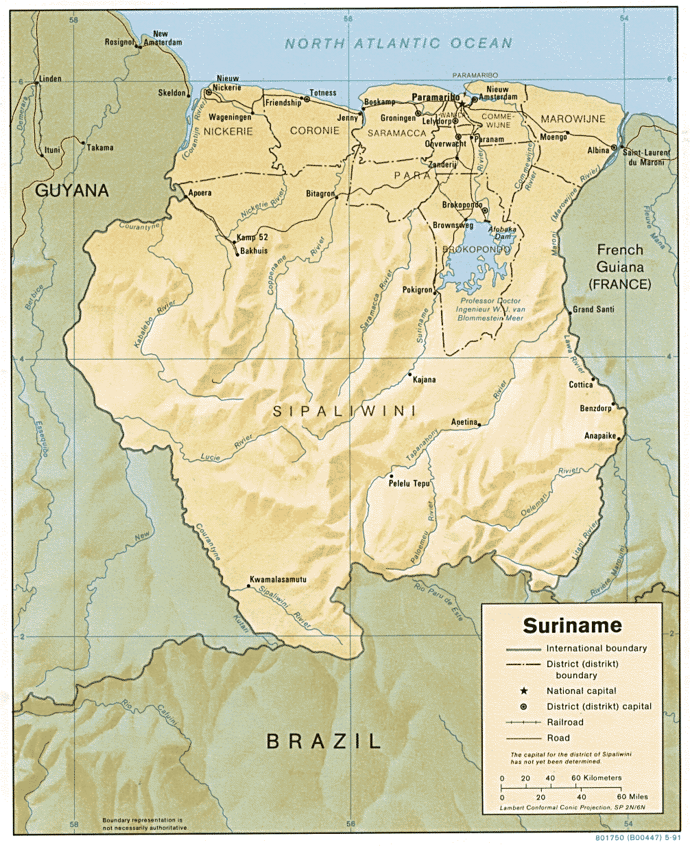
- Suriname (Shaded Relief) 1991 (313K)
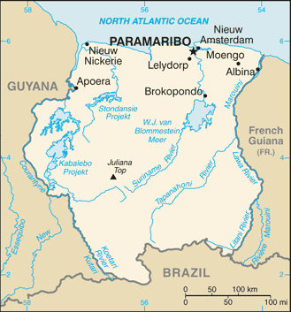
- Suriname (Small Map) 2016 (20.9K)
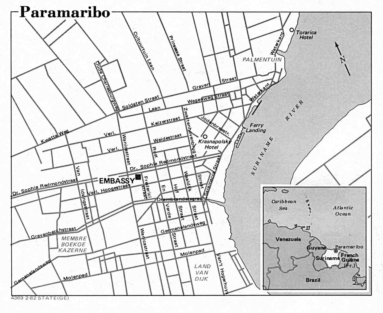
- Paramaribo U.S. Dept. of State 1982 (99K)
- 1:1,000,000 - Operational Navigation Chart Series, Sheet L-28 U.S. Defense Mapping Agency Not for navigational use (9.1MB)
- This map includes Suriname
- 1:500,000 - Tactical Pilotage Charts U.S. National Imagery and Mapping Agency. Not for navigational use
- This series covers Suriname
- This map includes Suriname
Maps on Other Web Sites