Perry-Castañeda Library
Map Collection
Solomon Islands Maps
The following maps were produced by the U.S. Central Intelligence Agency, unless otherwise indicated.
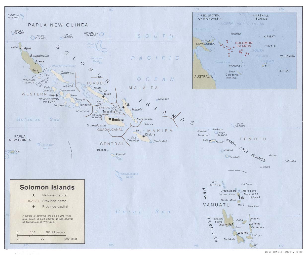
Country Maps- Solomon Islands (Political) 1989 (138K)
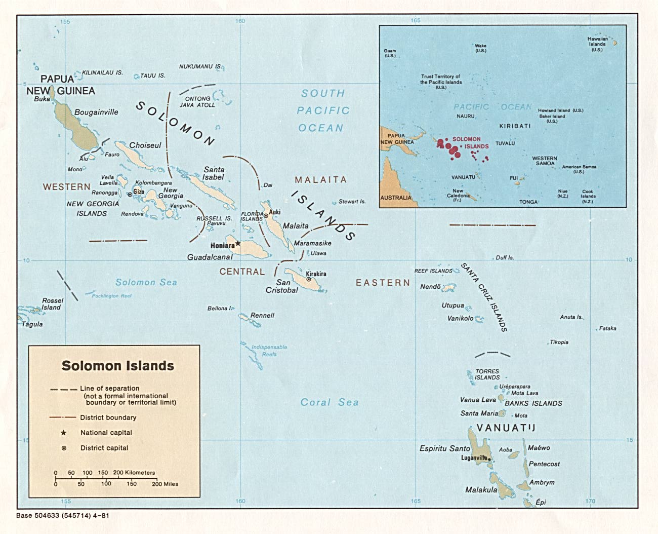
- Solomon Islands (Political) 1981 (171K) and pdf format (175K)
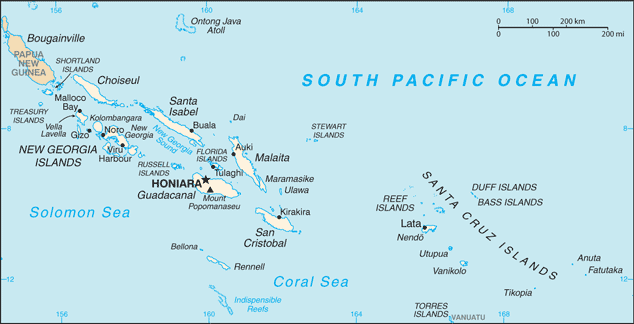
- Solomon Islands (Small Map) 2016 (24.3K)
- 1:1,000,000 - Operational Navigation Chart Series (Aeronautical Charts) U.S. Defense Mapping Agency Aerospace Center Not for navigational use
- Sheets M-14, M-15, N-15, N-16 and N-17 include all of the Solomon Islands
- 1:500,000 - Tactical Pilotage Charts U.S. National Imagery and Mapping Agency. Not for navigational use
- This series covers the Solomon Islands
- Sheets M-14, M-15, N-15, N-16 and N-17 include all of the Solomon Islands
Maps on Other Web Sites